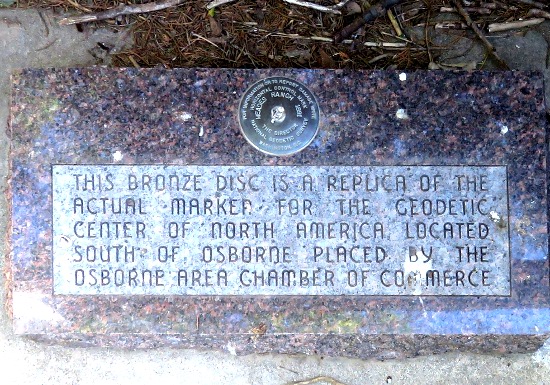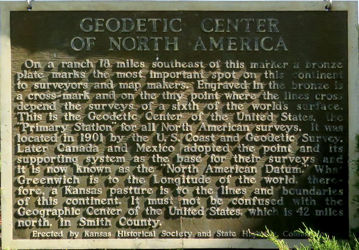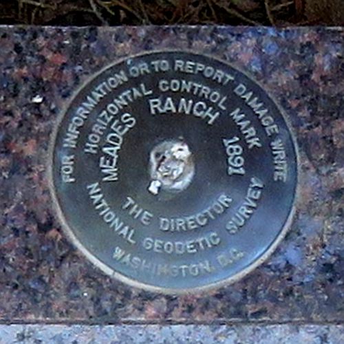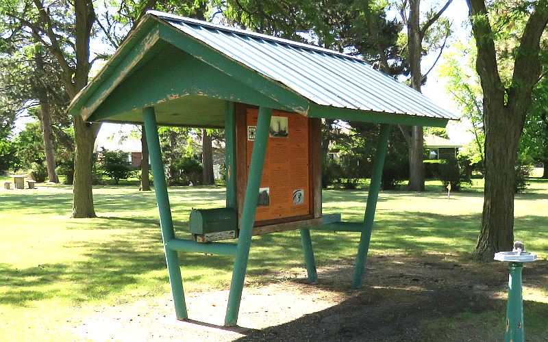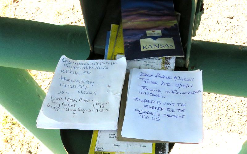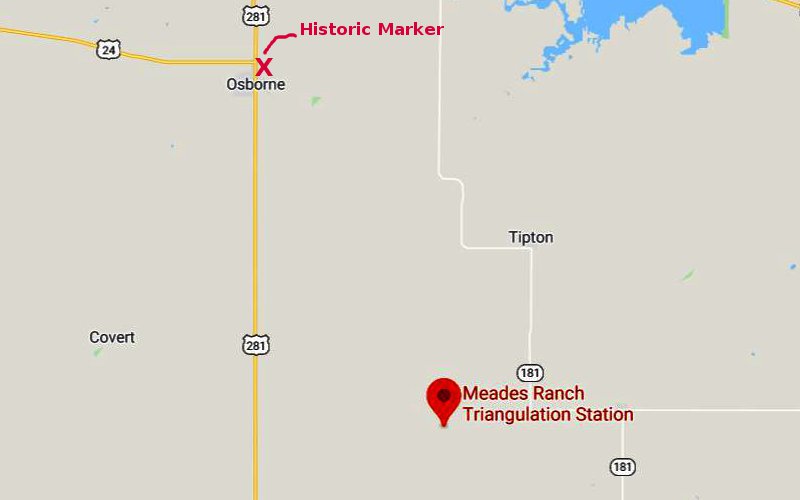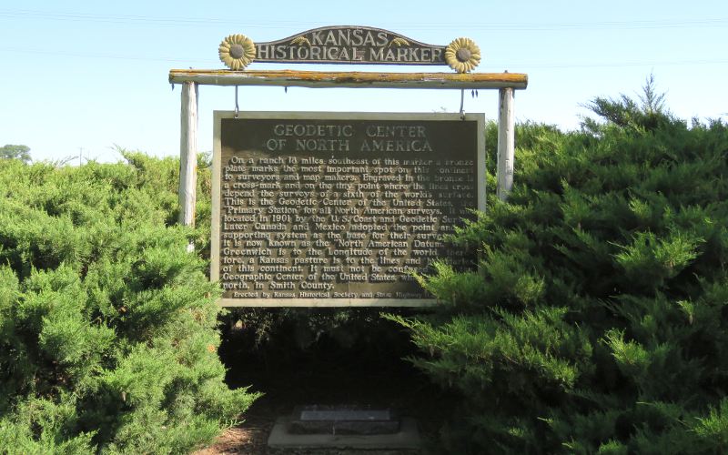
Geodetic Center of North America Historic Marker - Osborne, Kansas The Geodetic Center of the contiguous United States is similar to the Geographic Center of the United States, but takes into account that the Earth is a sphere, rather than flat. The Geographic Center is near Lebanon, Kansas and the Geodetic Center is at the Meades Ranch, 42 miles farther south. This location is the "Meades Ranch geodetic datum point" and was the point from which all surveys in North America were measured until 1983 and was known as the Geodetic Center of North America. Since 1983, those measurements are made from the center of the Earth's mass. Since the Meades Ranch is private property and not close to a highway, the Kansas Historic Marker for the Geodetic Center of North America is 18 miles northwest near the intersection of US-24 and US-281 in Osborne, Kansas. The maker stands above a replica of the official datum marker, which was placed here by the Osborne Area Chamber of Commerce. The marker stands in a park with picnic tables, a kiosk with information from the Solomon Valley Highway 24 Heritage Alliance and a mail box where visitors may register.
copyright 2020 by Keith Stokes |