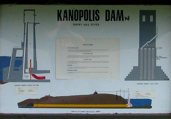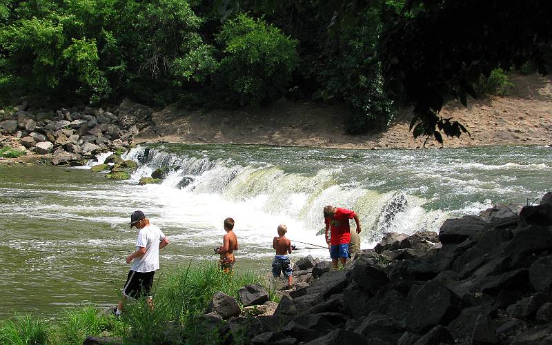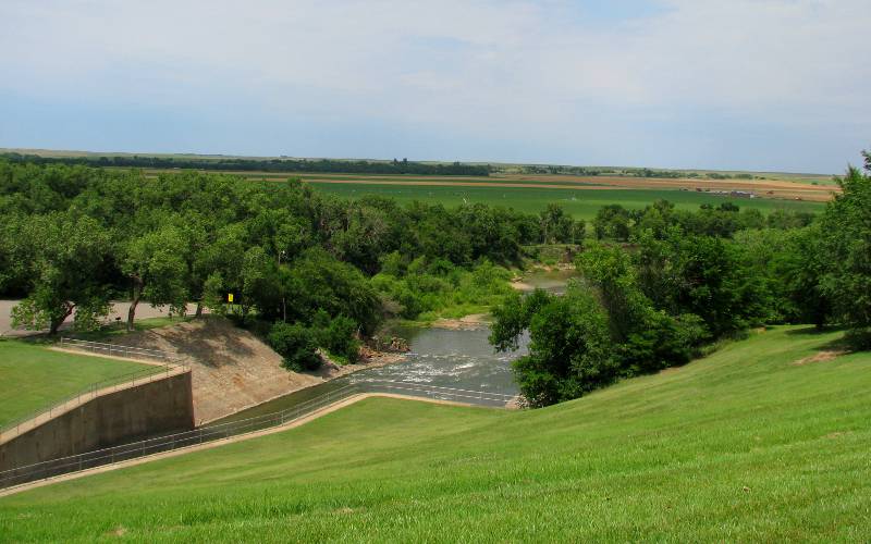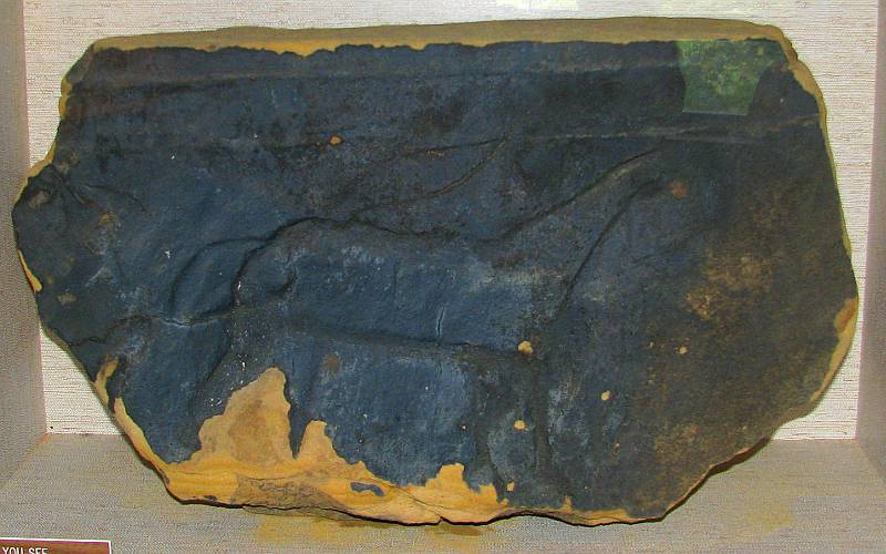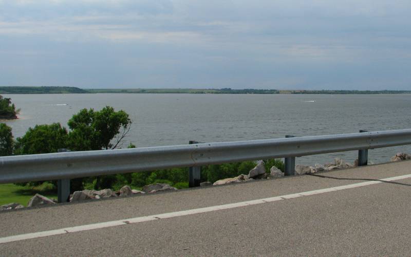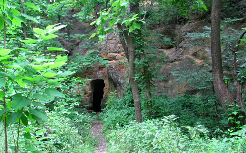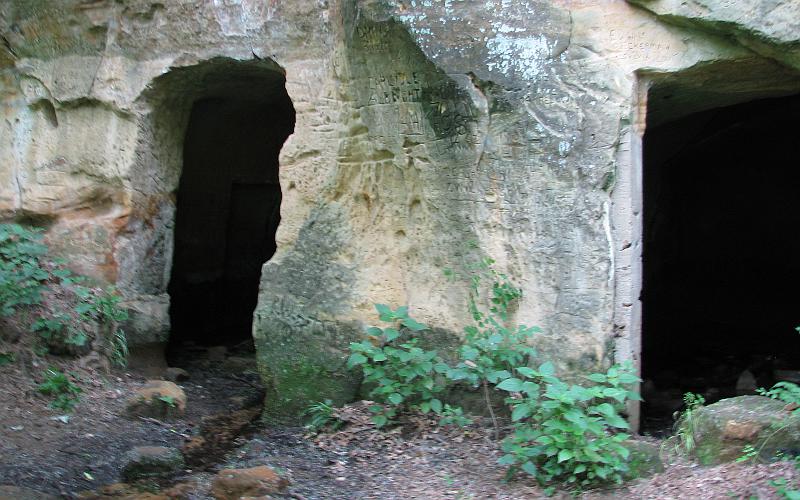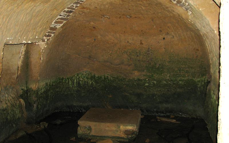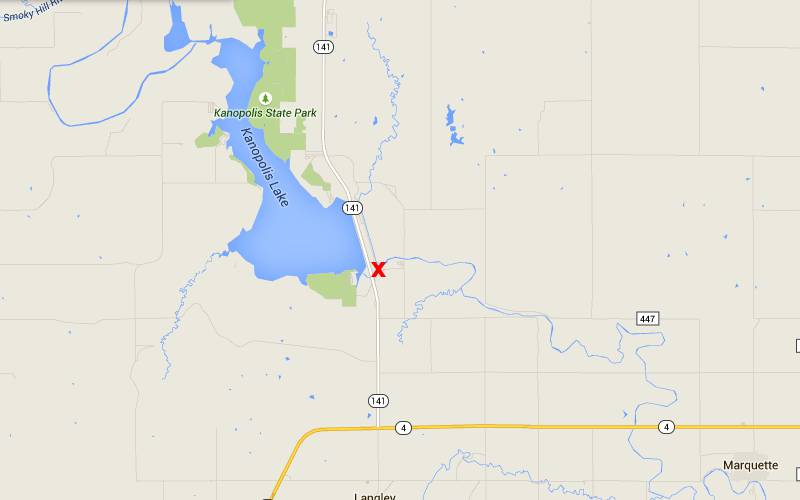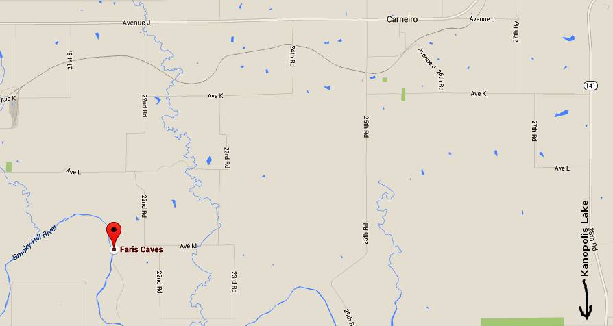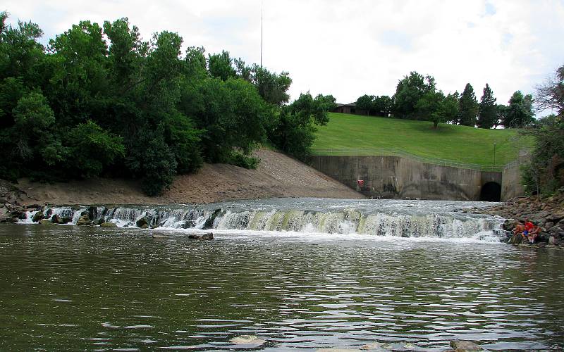
Kanopolis Lake Waterfall - Marquette, Kansas Kanopolis Lake Waterfall is located in the spillway from Kanopolis Lake, near Marquette, Kansas. The dam impounds the Smoky Hill River and was completed in 1948 as a flood control and water conservation project of the United States Army Corps of Engineers. The Corps manages the 3400 acre Kanopolis Lake and an additional 11,000 acres of land around the lake. At the turn off to the spillway, the Corps provides the Kanopolis Lake Information Center, where visitors can obtain information about hunting, fishing, hiking, boating and other activities. Some of the more interesting displays at the center tell about the Native American petroglyphs (rock engravings) which are found near the lake. The Faris Caves another nearby point of interest. They were excavated by a Colorado miner in the 1880s. He lived in them briefly. They were later used as a spring house, storage room, generator room, and a school. Be sure to use insect repellent before visiting the caves. The waterfall is located just a short distance from the south end of the dam and is a popular location for fishing. The Information Center is open Monday - Friday from 7:30AM - 4PM. It is occasionally open at other times if a ranger is present. The area at the waterfall closes at 10PM, except that fisherman are permitted to stay longer.
More
Kansas Waterfalls
copyright 2009-2017 by Keith Stokes |