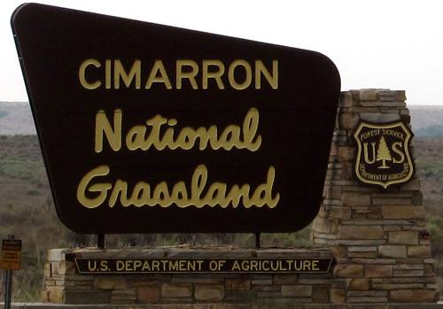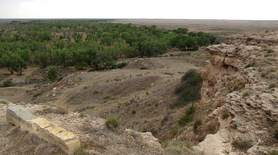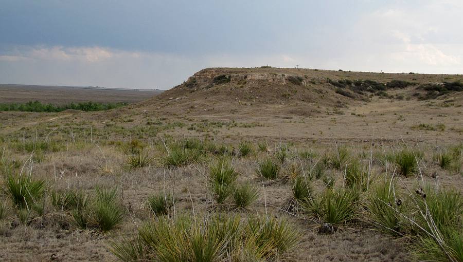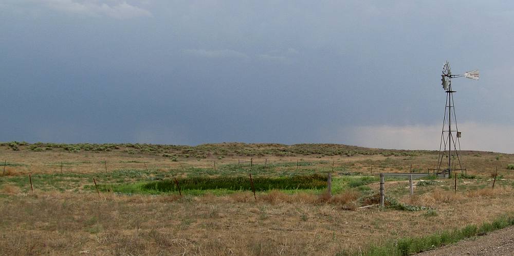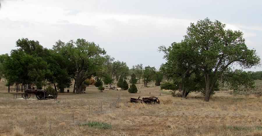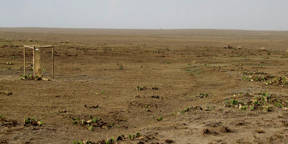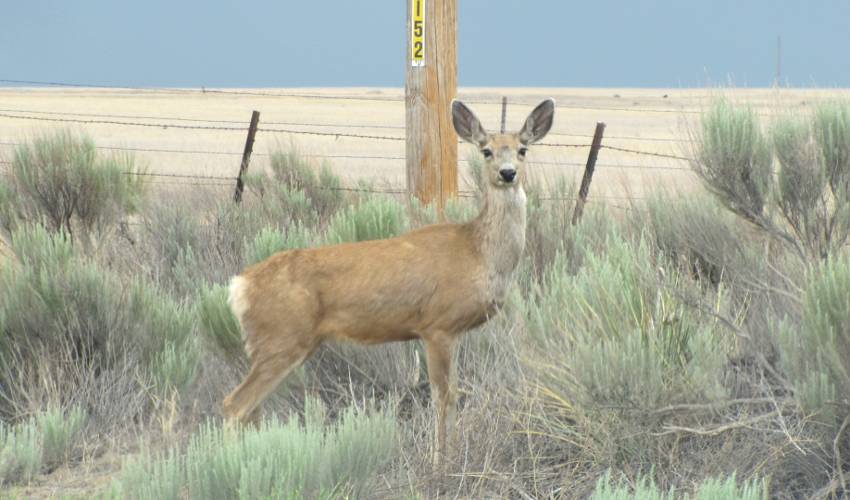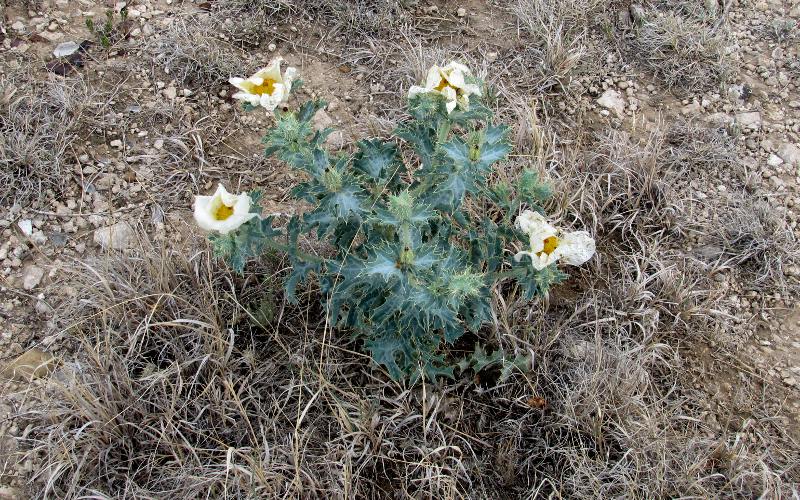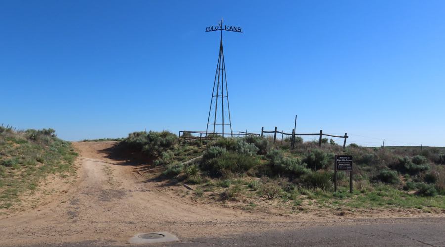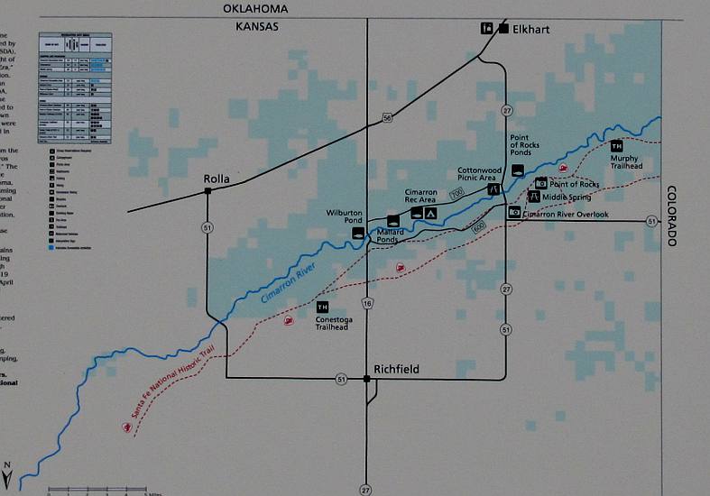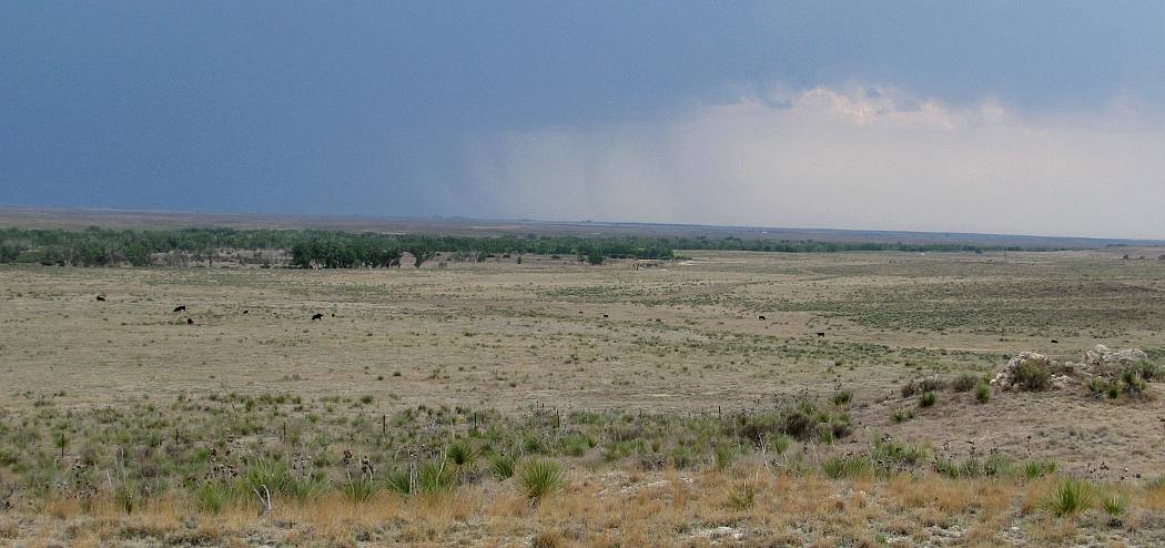
Cimarron National Grassland near Elkhart, Kansas The 108,175 acre Cimarron National Grassland in southwestern Kansas is one of twenty National Grasslands administered by the U.S. Department of Agriculture's Forest Service. It is the largest area of public land in Kansas and the only parcel managed by the Forest Service. Cimarron National Grassland includes rock cliffs, cottonwood groves, grassy fields, yucca and sage brush, providing recreational opportunities as diverse as bird watching, scenic driving, hunting, picnicking, camping, fishing and experiencing history, The Dust Bowl drought of the 1930s left the region in poor condition and in 1938 the federal government began purchasing the land to restore it. Originally known as Land Utilization Projects, the lands were renamed Cimarron National Grassland in June 1960. Today the land is managed for wildlife, water conservation, livestock grazing, recreation and production of minerals. Rock cliffs, cottonwood groves, grassy fields, yucca and sage brush are scattered throughout the land. The elevation ranges from 3,150 to 3,540 feet and seasonal variety is provided by native grasses and riparian vegetation along the Cimarron River. The geology of the Cimarron National Grassland is sandstone, shale, limestone, sand and gravel. Twenty three miles of the Santa Fe Trail cut across the grassland and Point of Rocks was a landmark on the trail. A good place to start your visit to Cimarron National Grassland is at Eight Mile Corner, 8 miles west of Elkhart, Kansas. Eight Mile Cornet is the Tristate Point where the boundaries of three states intersect. It marked with brass plate. There is relatively little to see related to the Tristate Point, but this part of the Cimarron National Grasslands is starkly beautiful. In the Spring there is a forest of yucca blooms. In the summer there are many low buffalo gourd plants with bright yellow flowers and small, melon shaped bitter gourds. You may also encounter mule deer, prairie dogs and burrowing owls. A U. S Forest Service sign on the north side of State Line Road a half mile east of 8 mile corner will help you find a prairie dog town.
copyright 2011 - 2025 by Keith Stokes |