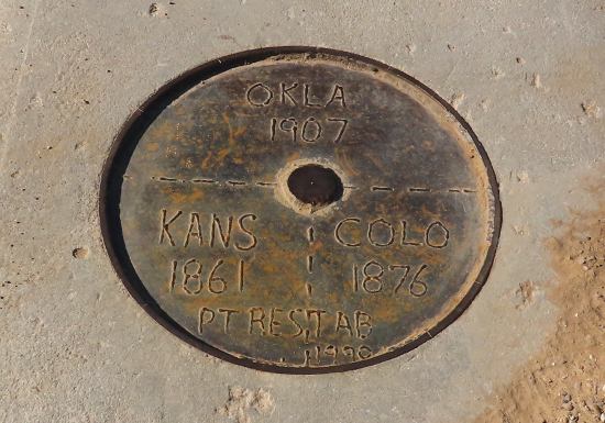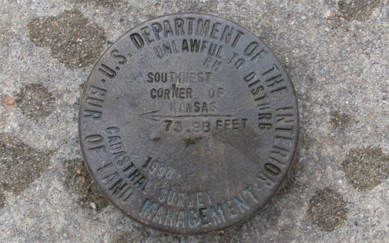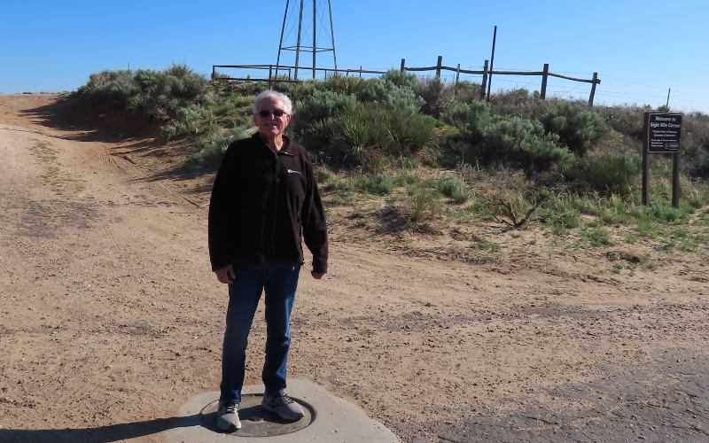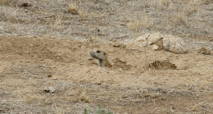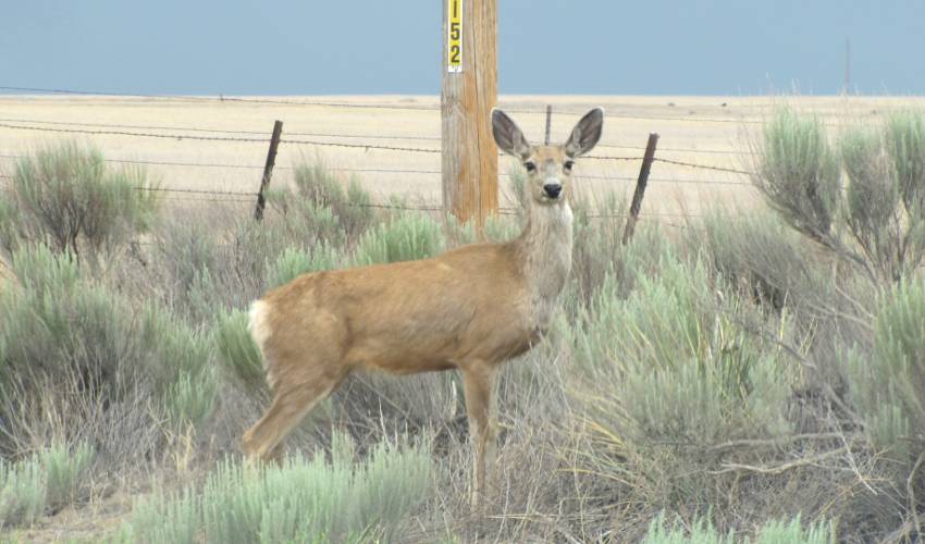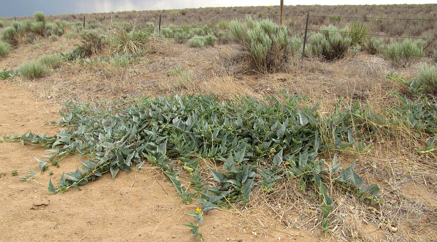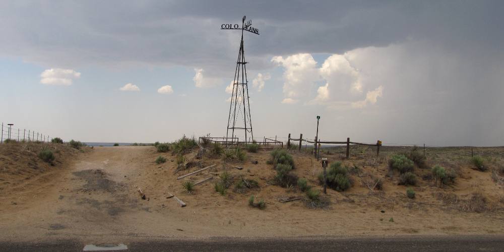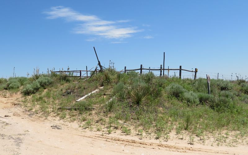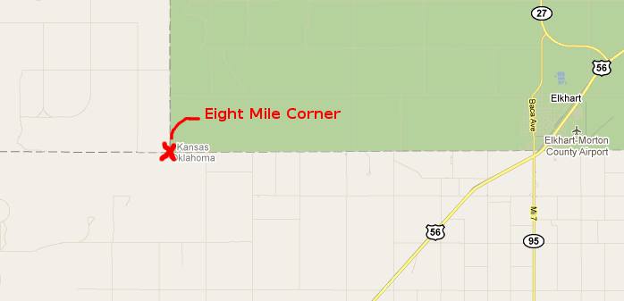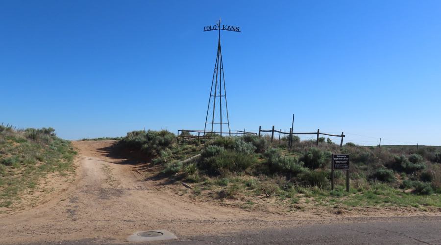
Colorado, Kansas, Oklahoma Tripoint Marker in 2025 - Elkhart, Kansas A Tristate Point is a location where the boundaries of three states intersect. There are 38 Tristate Points in the United States and four of them are at the four corners of the state of Kansas. Eight Mile Corner, 8 miles west of Elkhart, Kansas, is the location of the southwest Kansas Tristate Point. The exact location of the Kansas, Colorado, Oklahoma Tristate Point was uncertain for many years, but was firmly established in 1990. The brass plate at the top of this page is 4' above that survey marker. A nearby windmill like tower has "Kans." "Okla." and "Colo." on blades pointing towar wach state. It had originally been in place since 1903 when a survey marked the Tristate Point as being about 3/4 of a mile north of this point. The 1903 windmill maker collapsed a few years ago, but has been recently replaced. There is relatively little to see related to the Tristate Point, but this part of the Cimarron National Grassland is starkly beautiful. In the Spring there is a forest of yucca blooms. In the summer there are many low buffalo gourd plants with bright yellow flowers and small, melon shaped bitter gourds. You may also encounter mule deer, prairie dogs and burrowing owls. To reach Eight Mile Corner: from the edge of Elkhart where Oklahoma Highway 95, Kansas Highway 56 and Baca Avenue intersect, turn north onto Baca, cross the railroad tracts and then turn west on County Road A (better known as State Line Road) and drive eight miles. State Line Road is unpaved, but kept in pretty good condition. A short stretch at the Tristate Point is paved.
copyright 2011-2025 by Keith Stokes |