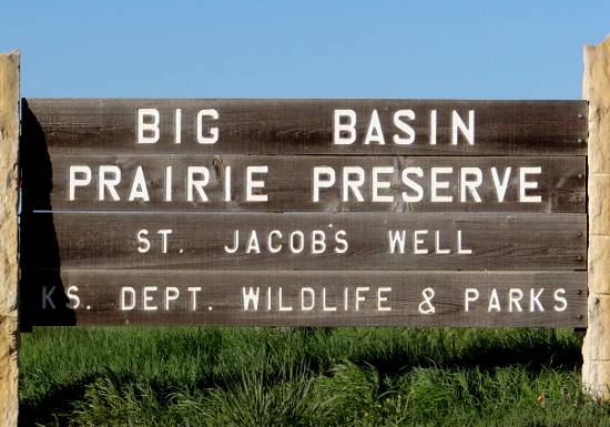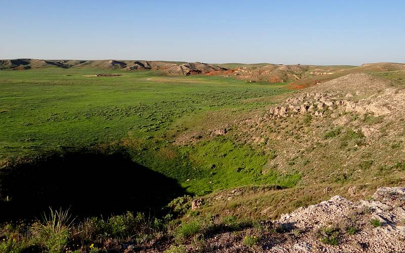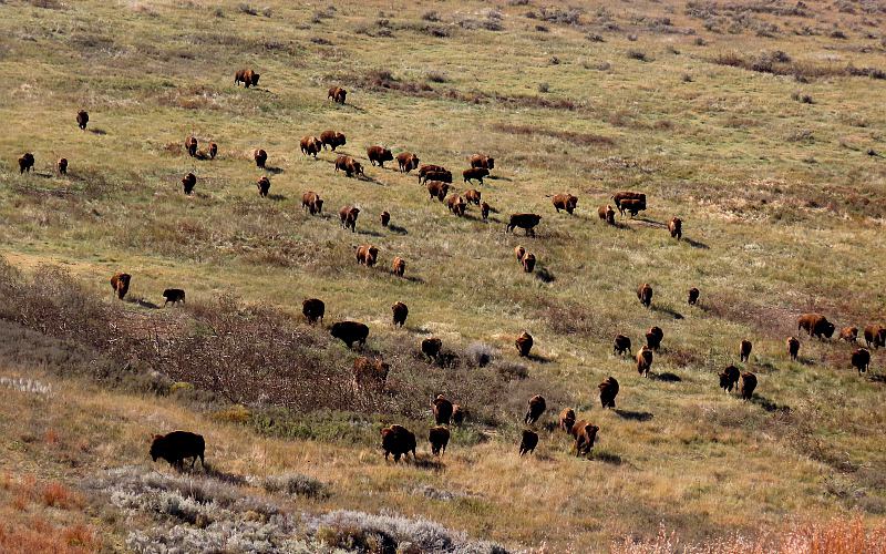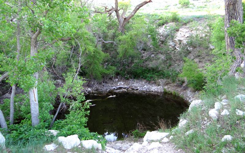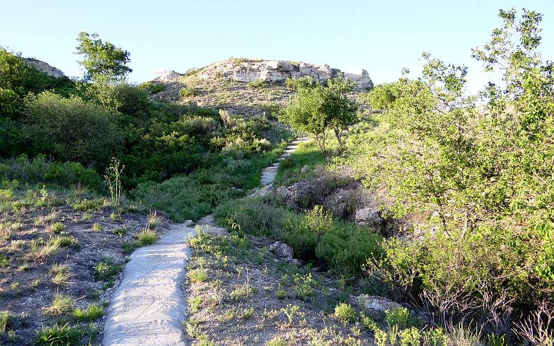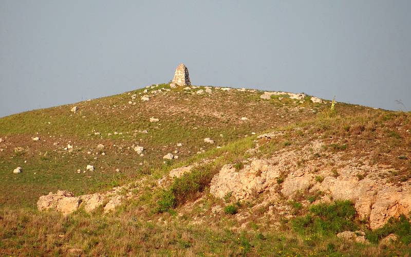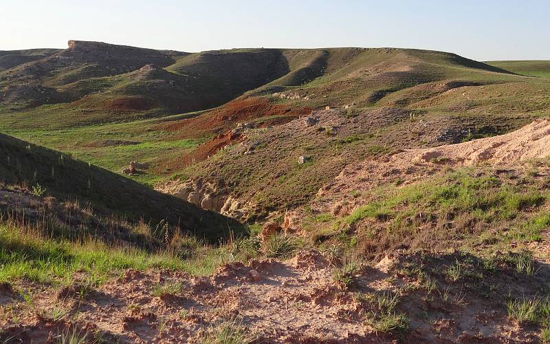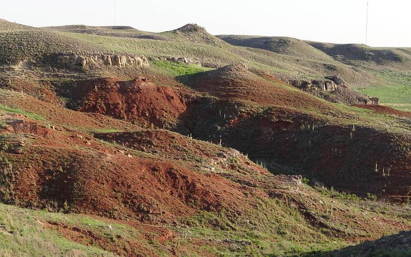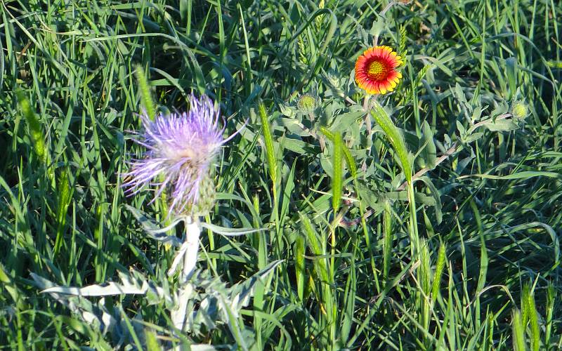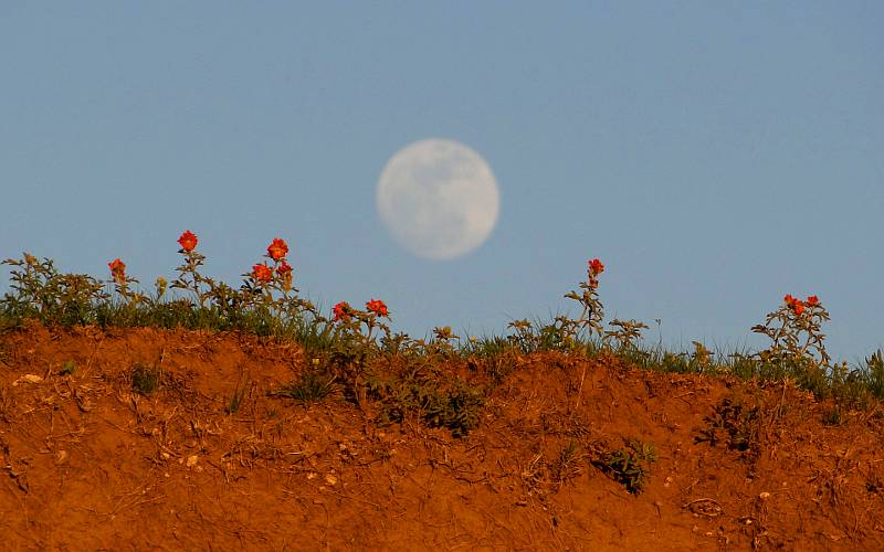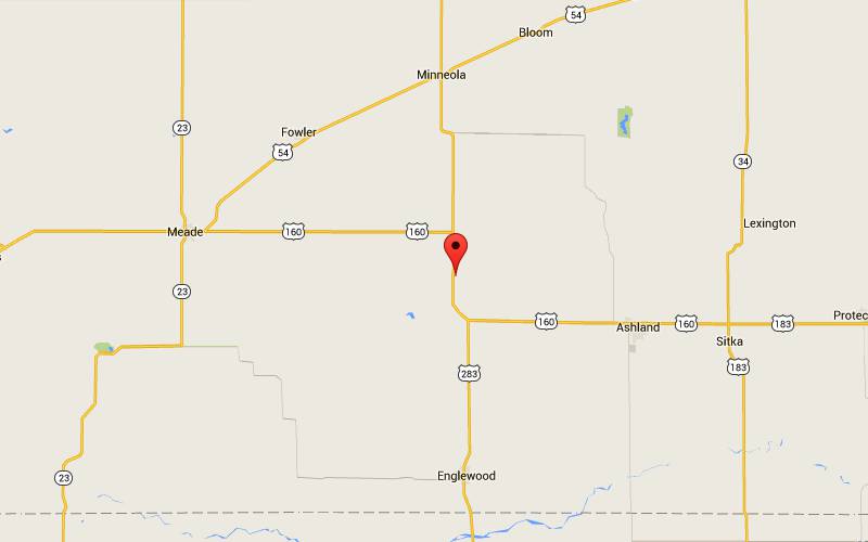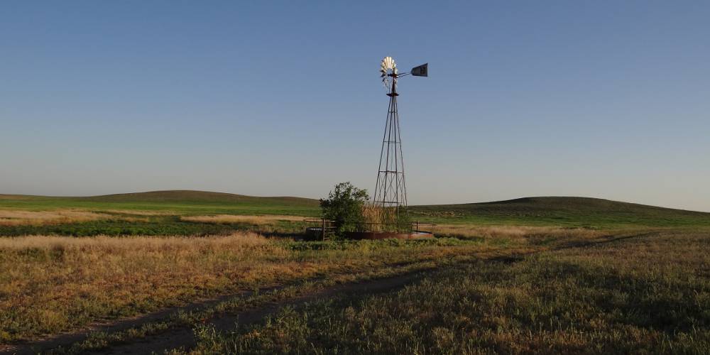
Big Basin Prairie Preserve - Clark County, Kansas (Prints of this image) The 1,818 acre Big Basin Prairie Preserve Wildlife Area, 15 miles south of Minneola, Kansas is owned and managed by the Kansas Department of Wildlife and Parks. The Big Basin which is named is a mile wide sinkhole of "sink" which is more than 100's feet deep. Although it has the appearance of a a valley, it is entirely surrounded by higher ground. Big Basin and other nearby sinks were formed thousands of years ago by the dissolving and collapse of massive gypsum and salt formations which were several hundred feet below the surface. Depressions are still forming today. The much smaller Little Basin is just east of the rim of Big Basin and surrounds St. Jacob's Well, a natural sinkhole with a permanent, spring fed pool of water which has never been known to go dry. It has attracted visitors for many centuries, beginning with prehistoric people and continuing until European settlement. Several hundred Native American Cheyenne camped in the area in the fall of 1878 as they traveled from Oklahoma to areas in Nebraska and Montana. St. Jacob's Well was also used by drovers driving cattle from Texas to the railroads in Kansas the late 1800s. Although Big Basin Prairie Preserve is located on the eastern edge of the High Plains, it is more characteristic of the Gypsum or Red Hills which are a little farther east in south central Kansas. The preserve is the home to a buffalo (American bison) herd, but I didn't luck out and see them during my first visit, but the prairie was beautiful as the sun set in the west and a "super" moon rose in the east. It is truly a gorgeous spot. During a later visit, I was photographing bison, when the driver of another vehicle honked his horn, and the bison thought that meant we had food for them. They came charging and soon surrounded our vehicles.
copyright 2012-2025 by Keith Stokes |